Penacova
information
-
+351 239 470 300
This email address is being protected from spambots. You need JavaScript enabled to view it.
http://www.cm-penacova.pt/pt/pages/centrobtt
40°16'00.7"N 8°16'45.3"W
-
Available soon...
-
Available soon...
location map
Services
Map of Routes
routes
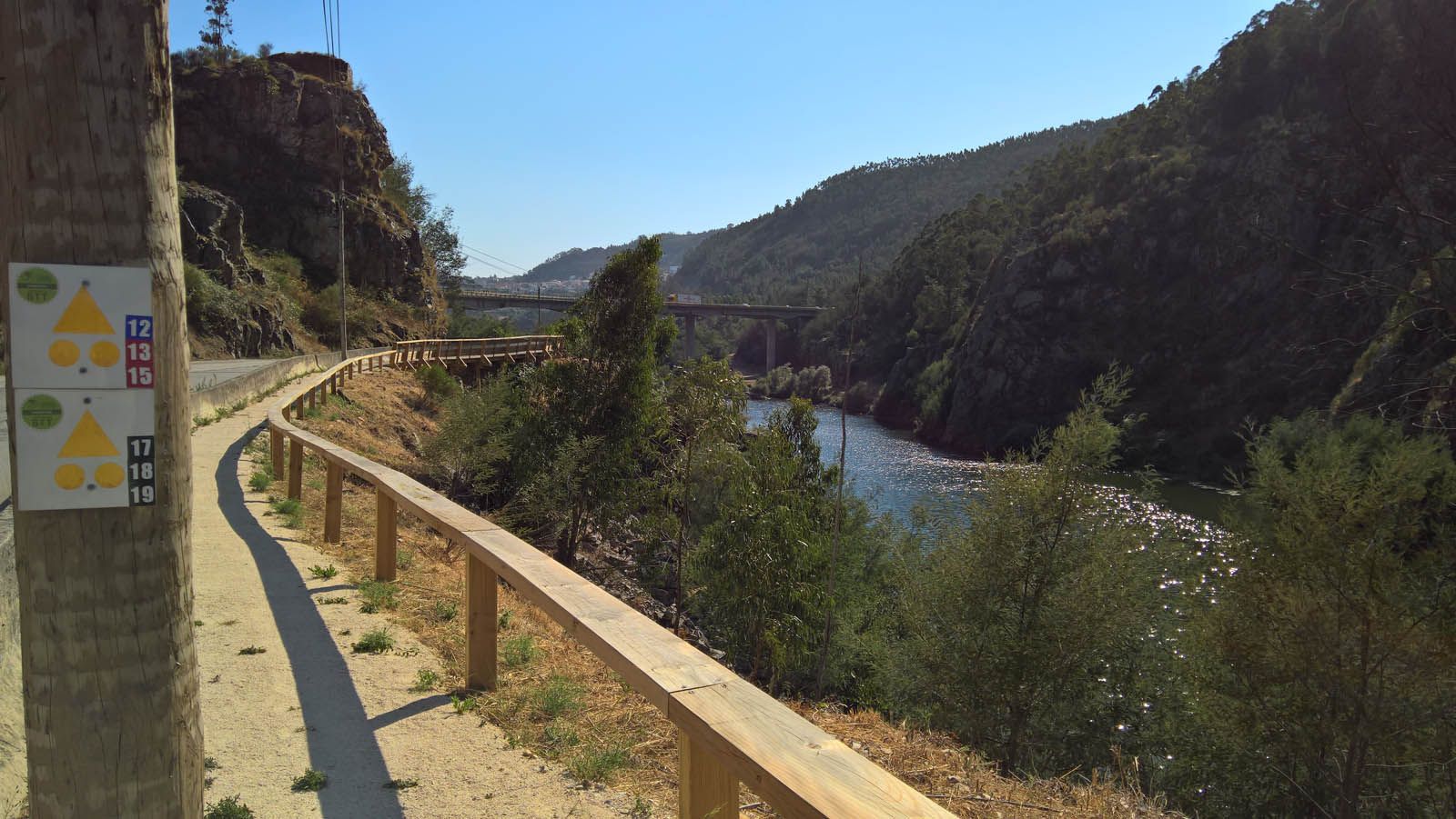
| p11 green |
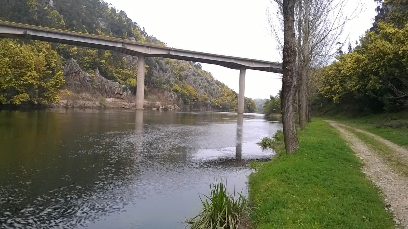
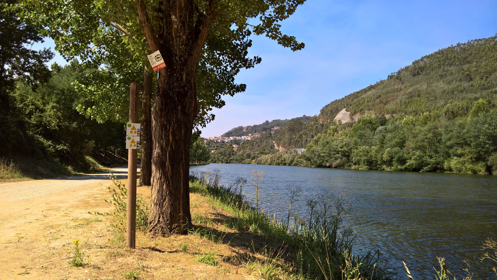
It is a racket-shaped route, with common beginning and end, accessible to all practitioners of the sport. The whole course develops along the banks of the Mondego river, enjoying beautiful landscapes, starting on the left bank of the mondego river, crossing the pedestrian bridge of the Carvoeira dam towards the Rebordosa leisure park, returning to the same bank by the Louredo bridge, with passage at the roman bridge of the Ribeira de Poiares.
Distance: 8,6 km
Time: 1h to 1h30
Climbing: 75 m
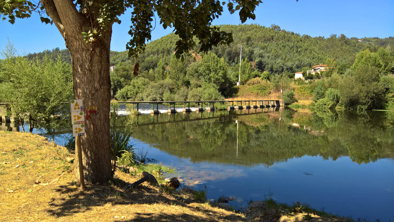
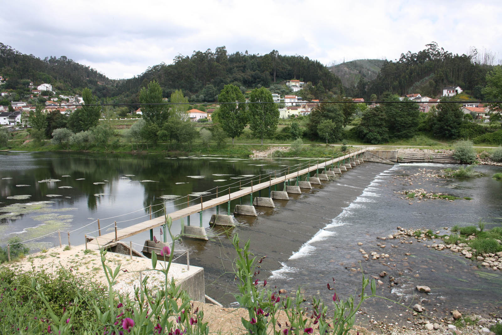
| p12 blue |
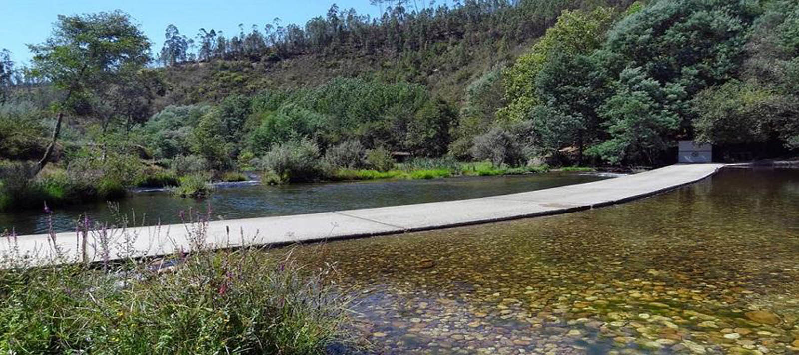
Circular route, accessible to all practitioners of the sport. Like the P11 trail, it develops on forest tracks and single tracks parallel to the Mondego River, being the opposite of the 11 trail to the pedestrian bridge of the Carvoeira dam, following the right bank of the Mondego river, passing to the left bank of the Mondego river through the pedestrian access of the Mini Water Dam, with several points of interest, the Caldas de Penacova water factory, the Mondego bookstore, the Penacova fishing track and the Penacova Municipal Camping Park.
Distance: 20,6 km
Time: 1h30 to 2h00
Climbing: 318 m
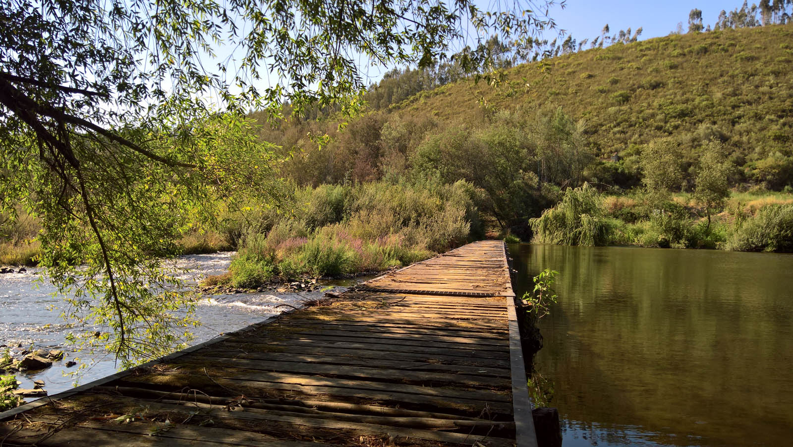
| p13 red |
Circular trail, composed mostly by single tracks, coinciding with trail 12 to the Mini Hídrica dam, following the right bank of the Mondego river to the Coiço dam, passes to the opposite side, where it returns to the starting point, providing a unique contact with the fauna and flora of the Mondego river.
Distance: 30,5 km
Time: 2h00 to 3h00
Climbing: 500 m
| p14 black |
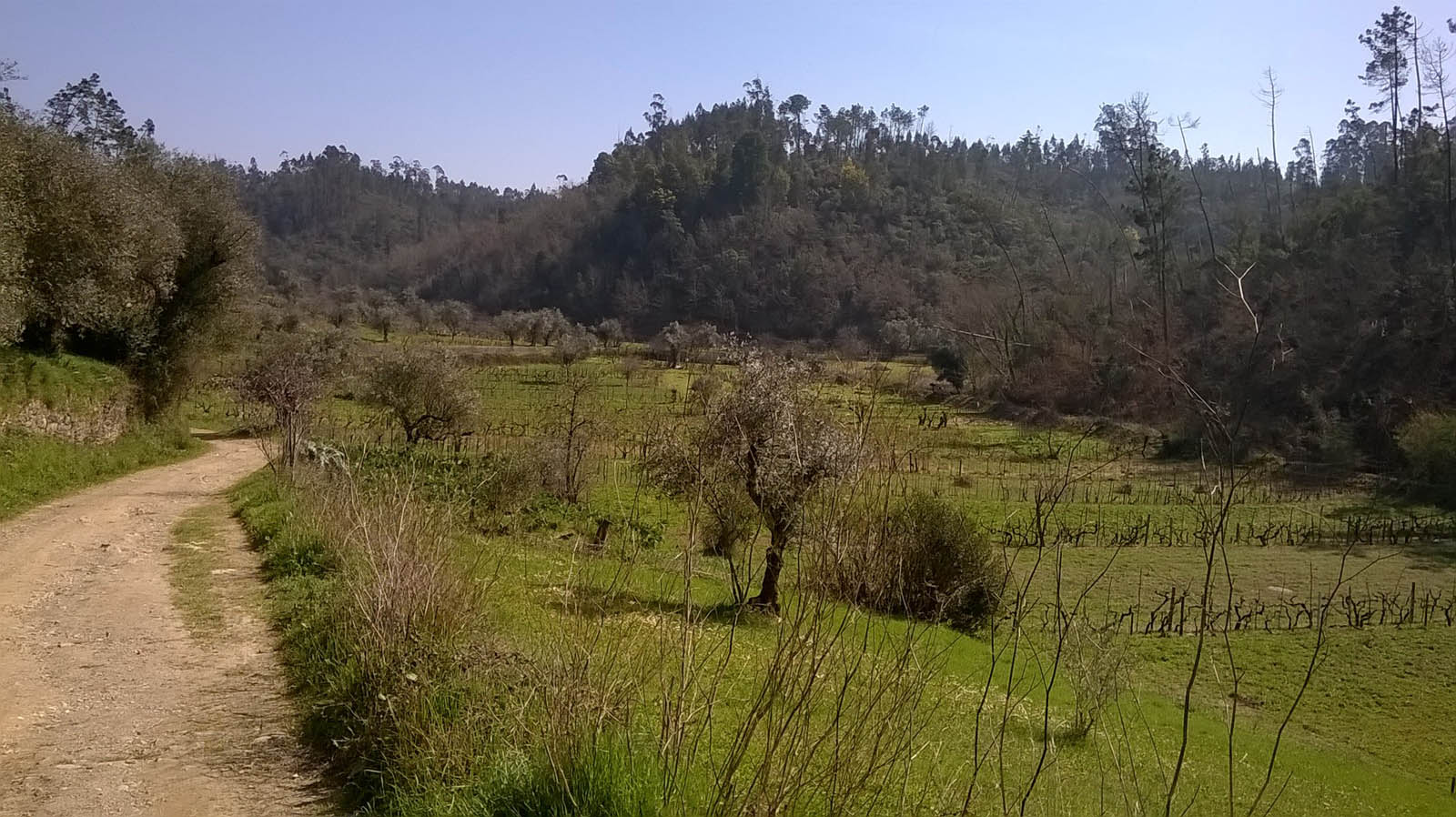
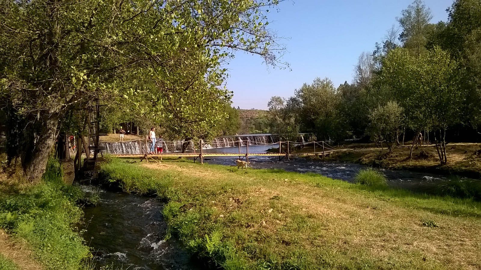
A journey with a common beginning and end, with some degree of demand, which leads us to know by rural paths and single tracks, the mills of Vento do Roxo and Aveleira, the watermills of the picnic park of Aveleira and Pisão de Lorvão, the Monastery of Lorvão and its conventual sweets, following the path of the miller to Fonte Santa de Chelo, flowing on the banks of the mondego, until the starting point.
Distance: 40 km
Climbing: 1000 m
| p15 red |
Circular route, coinciding with route 13 to the area of Porto da Raiva and to route 13´s end. It is a route with unique landscape interests surrounding the river Alva, especially the river beaches of Maria Delegada and Cornicovo, develops in rural paths and technical single tracks, but very entertaining. .
Distance: 35 km
Time: 2h30 a 4h00
Climbing: 680 m
| p16 red |
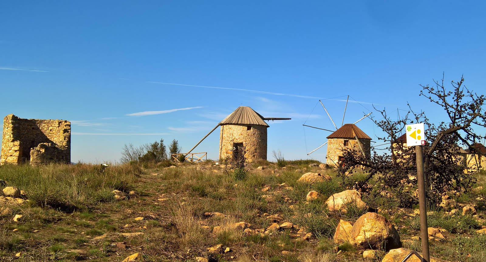
Circular trail, of moderate difficulty starting at the route 11 to the roman bridge of Ribeira de Poiares, taking the practitioners of the modality by rural trails to the nucleus of wind mills of Serra da Atalhada and to the single track with superb view over the bookshop of Mondego and the village of Penacova.
Distance: 31,25 km
Time: 2h30 to 3h30
Climbing: 666 m
| p17 black |
Circular route, with common beginning to other routes, it is highly demanding. It is advisable good preparation to do it, is characterized by forest paths and single tracks in valleys of great landscape beauty, crossing the banks of the Aguieira Dam.
Distance: 65 km
Time: 3h00 to 5h00
Climbing: 1300 m
| p18 black |
Circular course with beginning and end common to other courses, it is advisable good physical preparation for the course, quite fun. It is developed in a set of single tracks and rural paths along valleys and mountains like Gavinhos and Portela de Oliveira belonging to one of the largest molinological centers in the country.
Distance: 56,5 km
Time: 3h00 a 5h00
Climbing: 1400 m
gallery


institutional partners


FPC contacts
- Rua de Campolide, 237
1070-030 Lisboa - (+351) 213 802 140
- This email address is being protected from spambots. You need JavaScript enabled to view it.