Serra do Açor

information
-
+351 235 200 150
This email address is being protected from spambots. You need JavaScript enabled to view it.
http://www.cm-arganil.pt/viver/outros-espacos-desportivos/centro-btt-da-serra-do-acor/
40°16'01.7"N 7°59'18.7"W
-
To get to Coja, where the mountain biking shelter is located, from the A1, you should use the Coimbra Norte exit, following the IP3 towards Viseu for approximately 28 kilometres, leaving on the IC6 towards Arganil. From the IC6 you can go to Coja via Arganil on the EN342-2 and EN342 or take the exit directly from the IC6 to the old EN344 to Coja. From Coja you should go to Prado Park.
-
Available soon...
Location map
Services
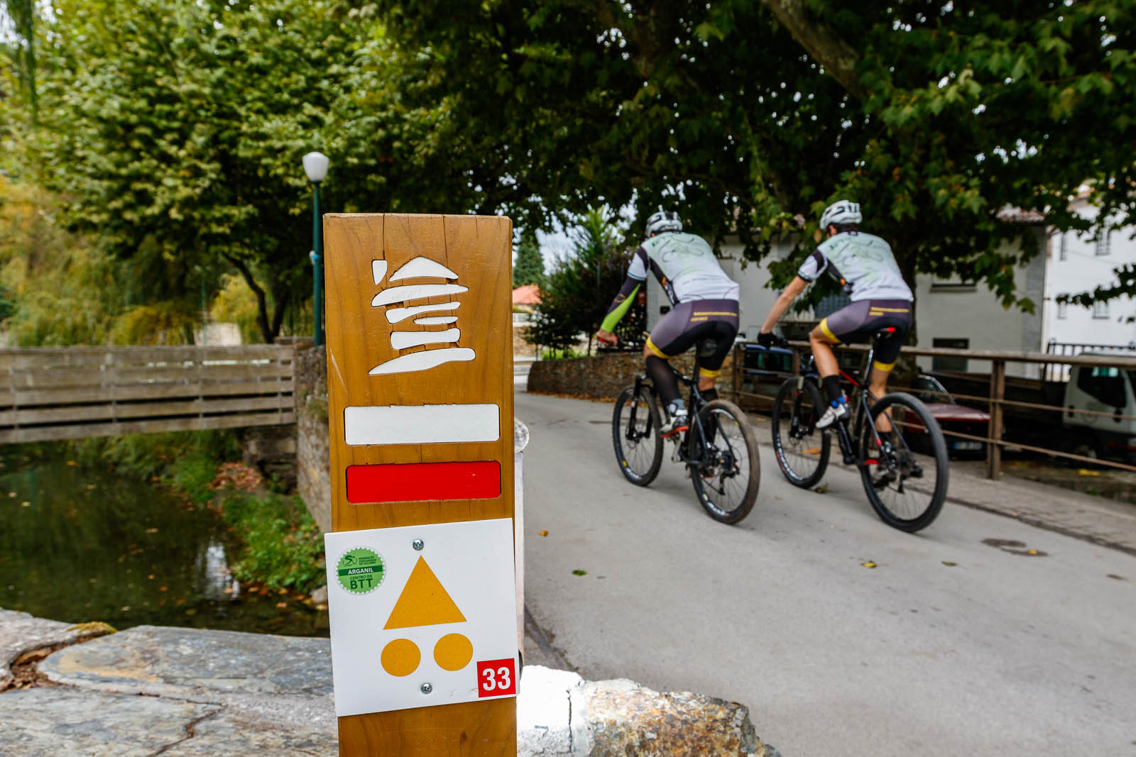
MAP OF ROUTES
routes
| p31 green |
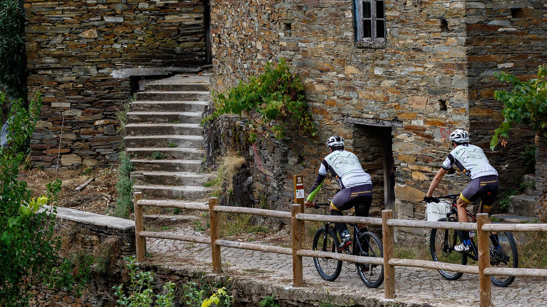
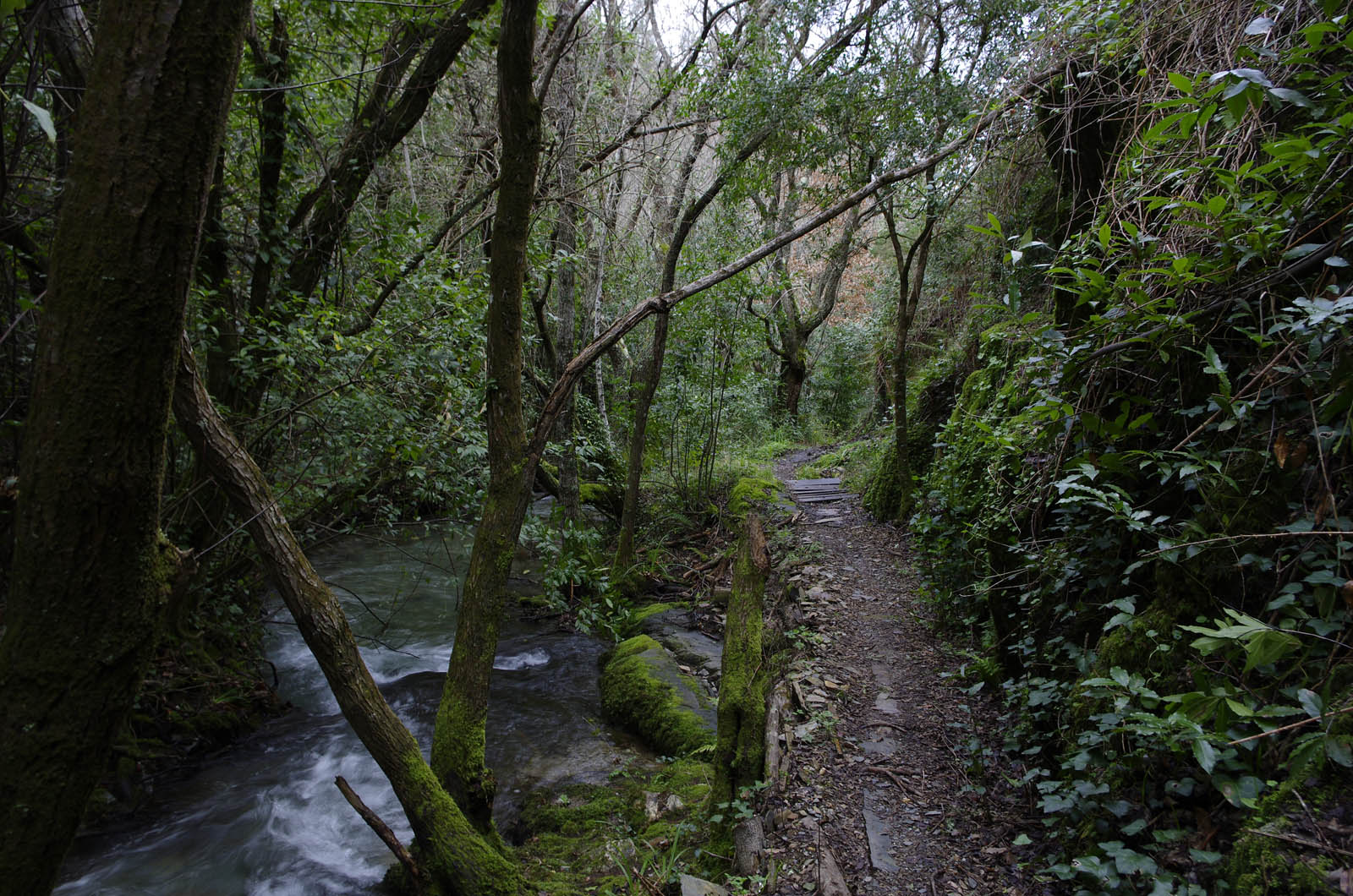
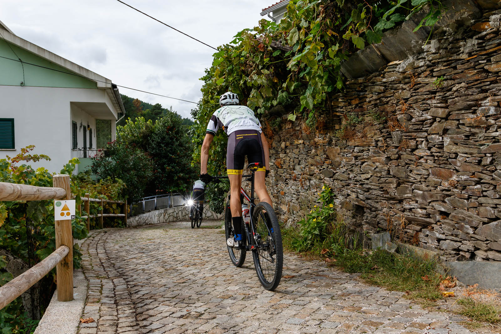
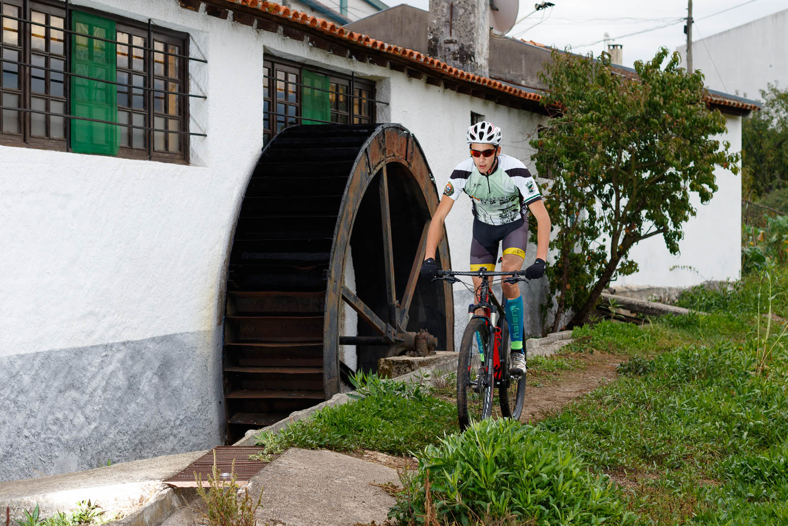
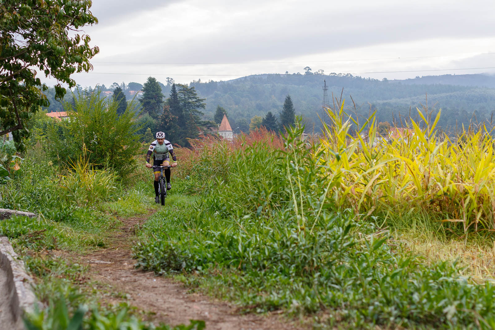
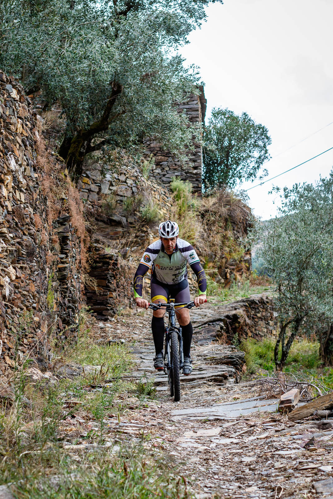
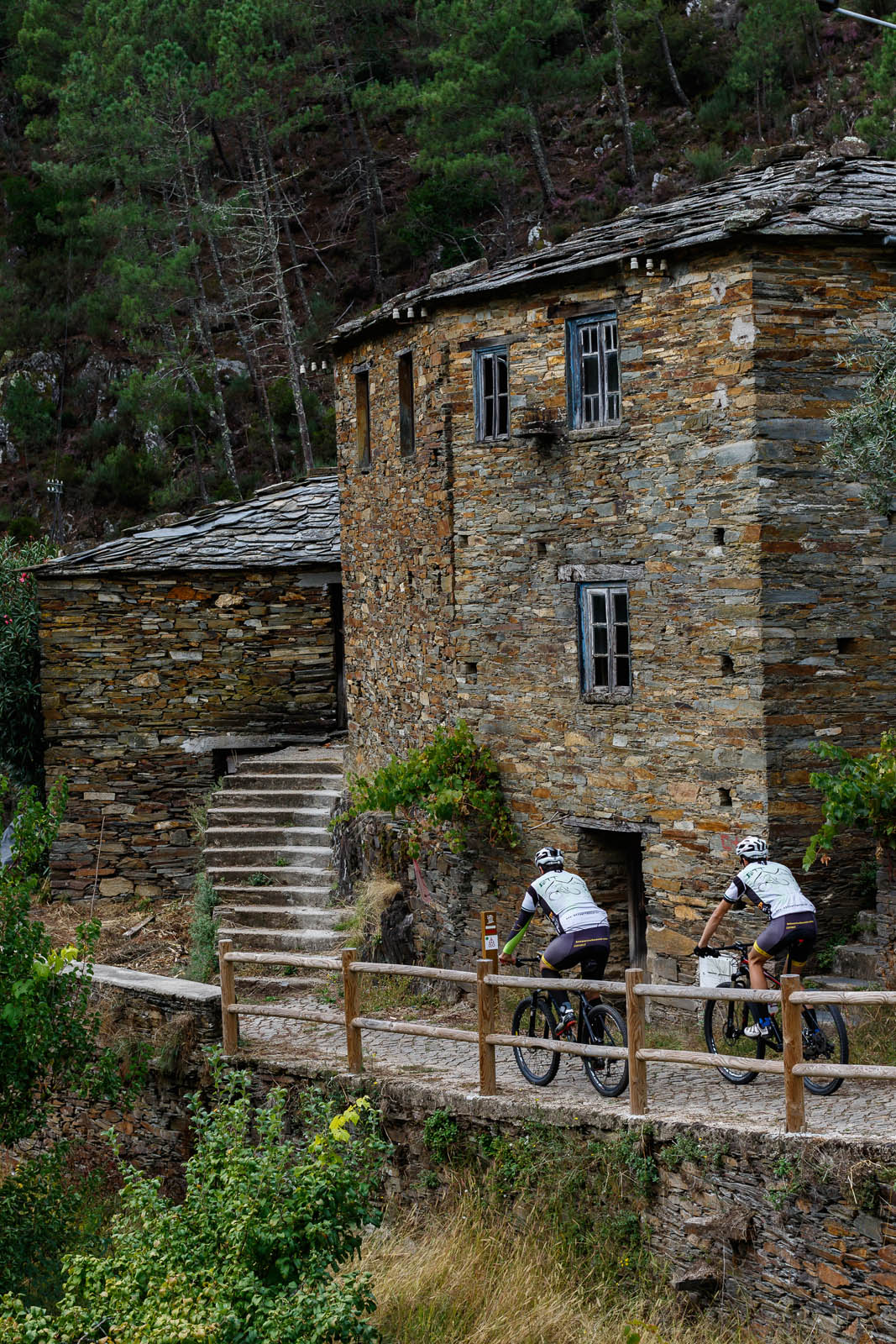
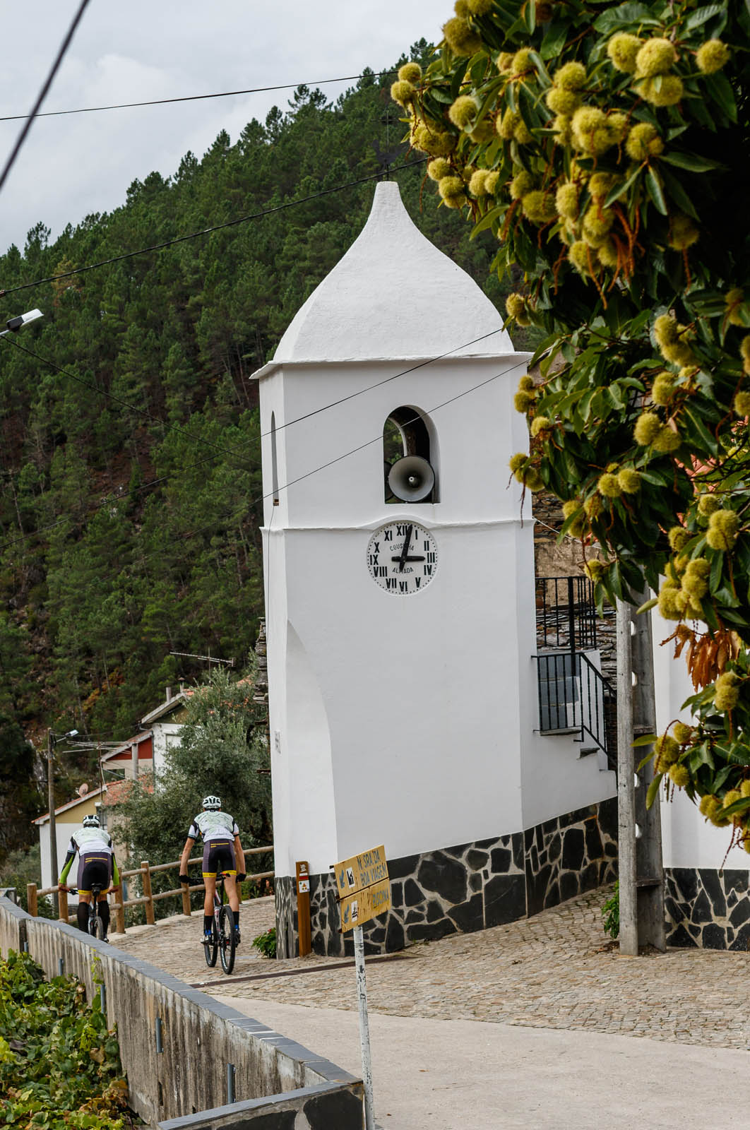
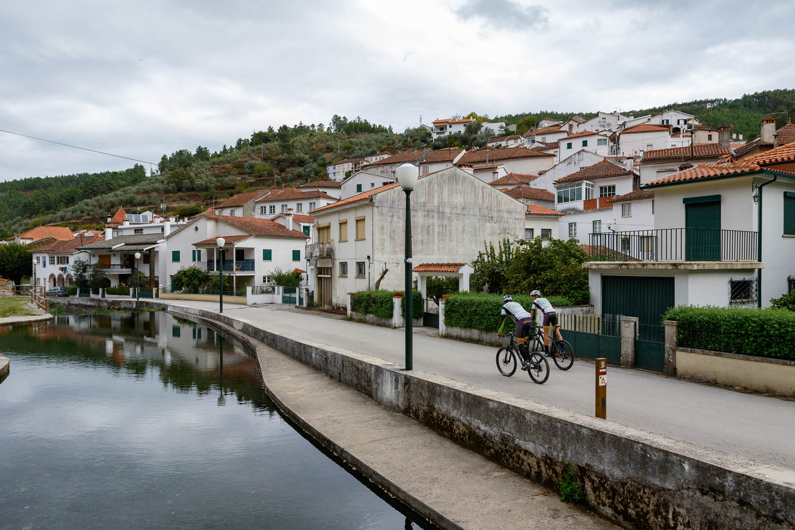
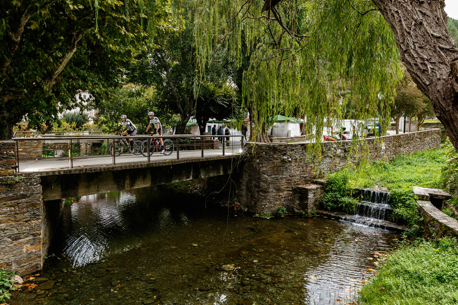
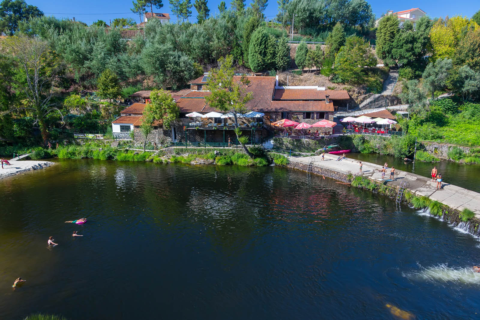
The route runs in the initial phase through some narrow streets of Côja, towards the Roman Bridge where it begins the journey through dirt floors, towards the Parque do Vale. In this phase the route follows the limit of the urban perimeter of Côja towards the Airfield and the area of the old ceramic industries, always on dirt roads. The route continues eastwards towards Quinta dos Vales and then through the Gândara area. In this place the approach to Côja begins, through a paved descending path, to the interior of this agglomerate. The crossing of this locality is made through the old streets, passing by the parish centre and the Library, towards the agricultural area by the Senhora da Ribeira path following an agricultural trail that follows a weir, until the end, in the Prado Park.
Distance: 6,4 km
Time: 1h to 1h30
Climbing: 180 m
| p32 blue |
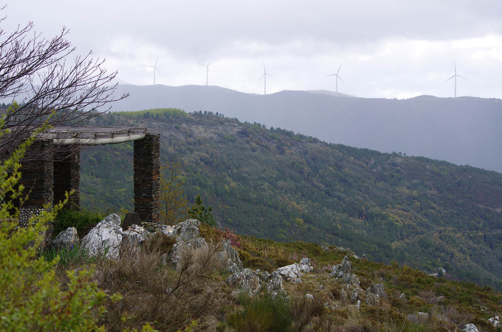
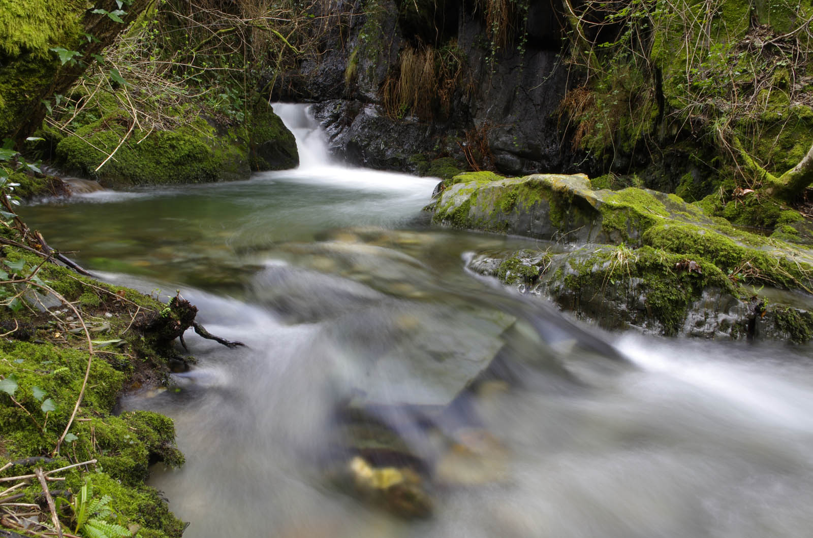
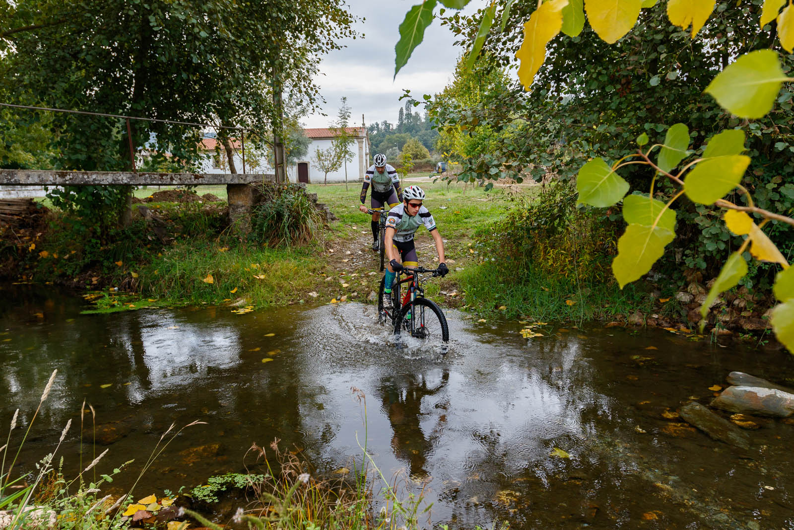
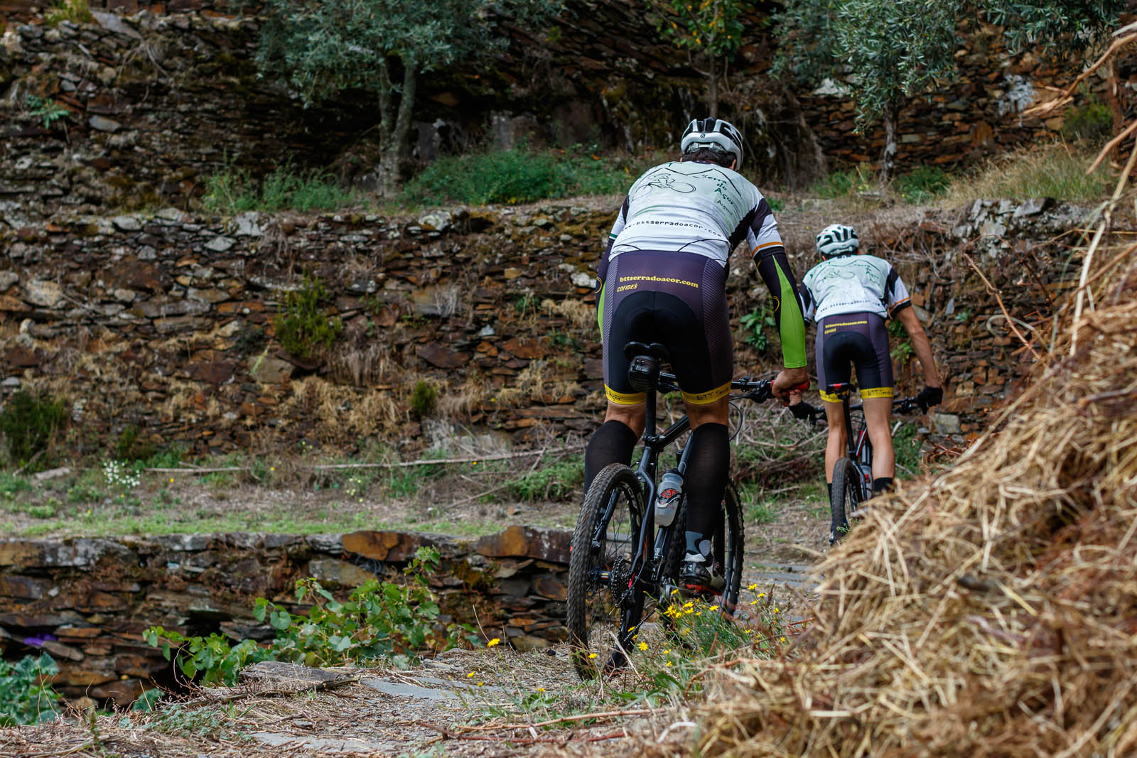
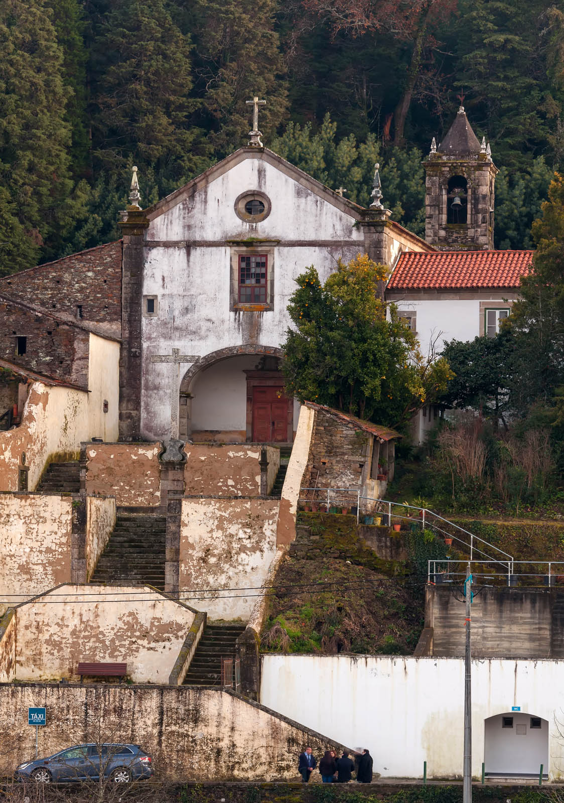
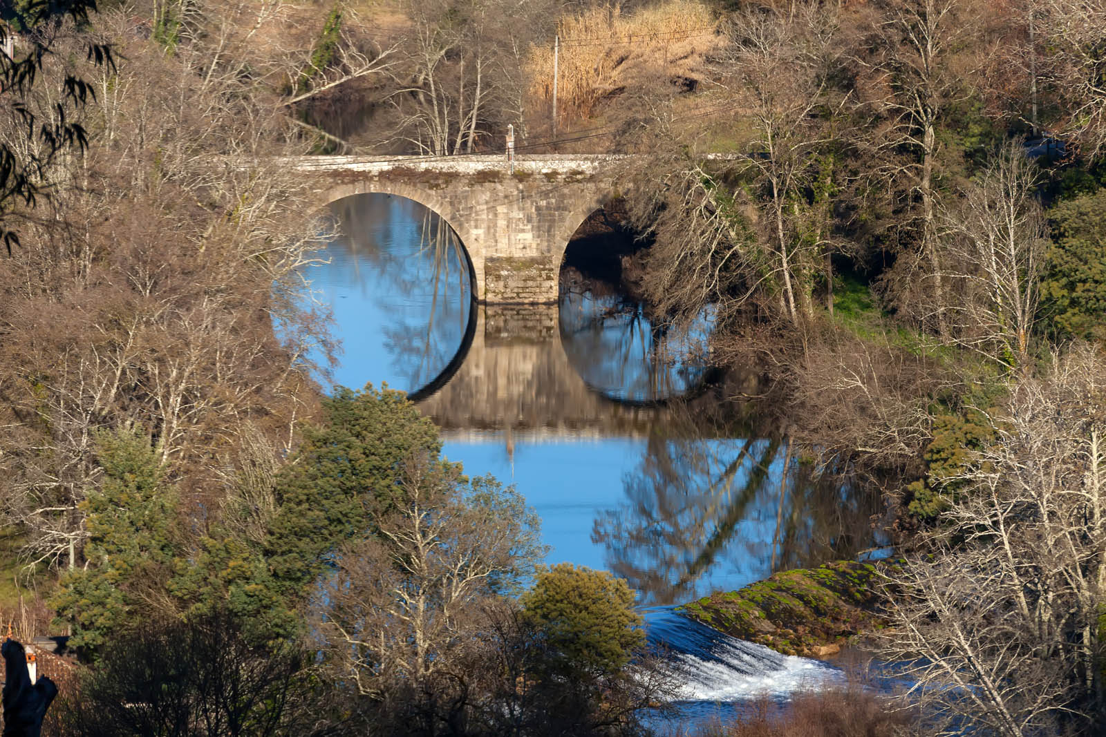
The route runs in the initial phase, together with the green route, in some narrow streets of Côja, towards the roman Bridge where it begins the tour through dirt floors, into the Parque do Vale. In this phase the trail follows the limit of the urban perimeter of Côja towards the Airfield and the area of the old ceramic industries where it leaves the green trail, going north and always on dirt roads. From this point the trail goes around the Aerodrome to the north and follows along the valley of the Alva river, at the interface of the agricultural and forestry zone, to the stone bridge over the Alva River, in Barril de Alva. Here the route reverses the direction again towards Côja, parallel to the direction to go, but at a higher elevation, allowing good visibility over the Alva Valley, passing through the "Valleys" area, until the proximity of the old industrial ceramics. In this area, the route inflects south towards Casal de S. João, through the Gândara area. In the locality of Casal de S. João the trail makes a tarmac crossing of about 0.65 km, on a little busy municipal road, leaving from a path on the right, towards the agglomeration of Pisão. The crossing of this locality is made through the old streets, passing by the church, towards the agricultural area by the way to Casal Mourão and Vale de Carro. From this zone the trail always follows the direction of Ribeira da Mata da Margaraça through agricultural tracks and a section of 0,25 km of tar to Senhora da Ribeira, where the crossing of Ribeira is made by ford or through a bridge, being found afterwards with the green trail, following an agricultural trail until the end, in Parque do Prado.
Distance: 16,75 km
Time: 2h00 to 3h00
Climbing: 350 m
gallery


Programs by BookinXisto Partners
institutional partners


FPC contacts
- Rua de Campolide, 237
1070-030 Lisboa - (+351) 213 802 140
- This email address is being protected from spambots. You need JavaScript enabled to view it.