
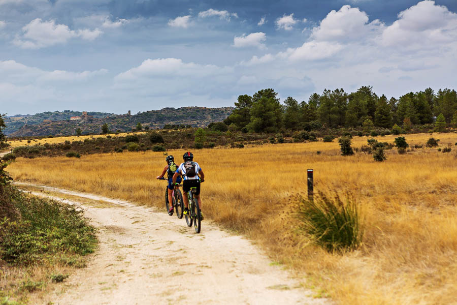
Route
| Sector 1 / Belmonte - Soito |
Distance : 51,4km
Climbing : 1291m
Description :
Leaving the Historical Village of Belmonte, the route begins by following the bike path next to the Castle. After descending for a little while, it crosses the national road and, shortly thereafter, it follows east, to cross the motorway and the railway. It crosses the Inguias stream together with the tar road and, already on the other bank, it goes up the valley as a dirt track. The route leaves this valley, which is now called Quarta-feira, and goes around Serra da Pedra Furada, thus revealing the Historical Village of Sortelha. Together with the local PR, it goes up drovers' routes and Roman and medieval stone roads, reaching the Castle’s west door, next to the old hospital. Continuing from Devesa, going up close to Portela de Sortelha, at a height of about 800m. From there, it begins to descend, crossing the Nave stream and the tar road. The descent continues along a dirt road towards Urgueira, where it separates from the Meimoa-Sortelha Dam leg. After passing the centre of the village of Urgueira, the route turns northeast towards the Côa valley, to Souto do Rio, where it turns right, before crossing the river and going up to the castle of Sabugal. Before going up to the Castle, the GR22 crosses the GR of the Côa valley, which follows the river from its source to its mouth. After crossing the old centre, the route takes a right on Praça da República towards the industrial area, circling it from the south and turning right, to the east, in an unpaved path. It passes the Arnes stream and continues until it meets the road, near the village of Torre. Inside the village, the route turns right onto D. Dinis street and just outside the village it turns left, entering a series of pathways to the road that goes into Ozendo from the south. Going north from the Amoreira street, the route crosses a less populated area, passing by marshes on the way to Soito, which is reached from the northwest.
| Sector 2 / Soito - Almeida |
Distance : 66,4km
Climbs : 1254m
Description :
Leaving Soito, next to the chapel of São Brás, it crosses the road and turns right on a cobbled road. From there, it goes down walled paths between farming fields and it passes the Alfaiates stream, to find the dam further ahead and then the village that gives it its name. Crossing Alfaiates, the route heads towards Rebolosa where, next to the Bullring, it reaches a path that goes up to Cesarão river. It follows this river, first until the village of Ribeira, then until Vilar Maior, passing through livestock farming fields, with cattle gates on the way. In Vilar Maior, it crosses the village and continues along the Medieval Bridge over the Cesarão river, rising towards Malhada Sorda. It crosses the village and goes down dirt roads to the place of Medronhal, near the Côa river. There the stone railway bridge across the valley can be seen. The route moves away from the river and begins to go up to Freineda, passing through the centre of the village and leaving it, heading west. It crosses the railway line and starts to go down the Côa valley, crossing the river by a riverside beach (the crossing may not be possible during winter; check the map for an alternative way). Then begins a demanding climb to the HV of Castelo Mendo. Leaving the Historical Village of Castelo Mendo due north, this section follows along plateaus overlooking the Côa. It starts as a dirt road to the EN16, near which it crosses the A25 by an underpass. From this point, it goes on flat terrain and again on dirt road to Leomil, then passing by Ansul and arriving at Aldeia Nova, always in the same kind of environment. Continuing on the plateau, the route meets the EN340, where it joins the Côa Great Route (GR), to jointly cross the river over the old bridge and go up ancestral pathways to the Historical Village of Almeida, parting just before it.
| Sector 3 / Almeida - Cidadelhe |
Distance : 55,5km
Climbs : 1211m
Description :
Leaving the Historical Village of Almeida by the bike path that goes around the wall, the route heads north on a dirt track, to cross the Alvercas stream and then follow grazing paths until it reaches Malpartida. The route crosses the EM604 and goes through plains overflown by birds of prey, approaching the Tourões river, a natural border with Spain. It continues on a dirt road, through grazing paths with gates, and then along farmland paths, crossing again the EM604 near Vermiosa and heading north through plots of land. The route passes Cruzeiro de Roquilho and returns to the EM604 tarmac on arrival at Almofala. It continues north, through cobblestone which then gives way to a dirt road and converges with the road towards Mata de Lobos. After a small stretch of tarmac, the route heads right to leave the road, going back to the dirt road, crossing plots of farmland until after Mata de Lobos. From there, the route changes its general direction. Going west now, it will cross the Aguiar stream and, together with the PR3 FCR route, it will climb up to the Historical Village of Castelo Rodrigo, which is already watching from above, passing by the Convent of Santa Maria de Aguiar. The path leaves behind the Historical Village of Castelo Rodrigo, heading west along the PR2 FCR route, predominantly on dirt, towards the Côa valley, around the Serra da Marofa and past Freixeda do Torrão. At the intersection of the tarmac road that connects Cidadelhe to the villages on the right bank and when it reaches the gate of Reserva da Faia Brava, a Private Protected Area, the route joins the Côa Great Route to abruptly descend the valley, cross the river and start the demanding climb of the slope, gaining different views of the river valley. The bike path GR22 follows the tar road and, higher up, the presence of cork oaks announces the arrival at Cidadelhe.
| Sector 4 / Cidadelhe - Trancoso |
Distance : 49,17km
Climbs : 1281m
Description :
The route leaves from Cidadelhe along a plateau and agricultural area, heading south to Juízo. There, it turns northwest and descends into the valley of the Massueime stream, which it crosses shortly after. Leaving the valley, it passes through Gateira, after which it crosses a mixed and flat landscape, overlooking Marialva and its castle. When they reach the IP2, the GR22's pedestrian and cycling paths diverge in their trajectory. The cycling route crosses the IP2 in the area of the junction, passes through Devesa and goes up to the castle from the south side. Marialva is the northernmost village of the GR22 - Great Route of the Historical Villages of Portugal, and the route now heads south, descending to the devesa of this Historical Village, where it leaves the previous leg. Continuing on a dirt road, it crosses the bridge of the Marialva stream and heads towards Rabaçal, now mostly towards west, up to Esporões. After crossing this village, it follows forest roads, which progressively become agricultural paths as it approaches Moreira de Rei and its curious granite formations. From there, and already together with the “Guardians of the Plateau” route, this leg continues south until Castaíde, where it finds the Azedo valley, which it then follows until it starts the final climb to the Historical Village of Trancoso.
| Sector 5 / Trancoso - Linhares da Beira |
Distance : 42,7km
Climbs : 1046m
Description :
This leg leaves Trancoso from the south side, goes into a dirt road and descends towards Miguel Choco. From there, and passing soon afterwards through Venda do Cepo, it catches the beginning of the Muxagata stream. It goes down the initially narrow valley of the stream and follows this water line through Aldeia Nova, before reaching Muxagata. From this village it goes south, following the stream of the same name to its mouth, on the Mondego river. In this river it is necessary to cross a dam (conditioned crossing in flood period, see alternative). Leaving the valley, it soon crosses the EN16 and reaches Vila Soeiro do Chão. Using mostly dirt roads, it passes through Mesquitela and Carrapichana. In the latter, it crosses the EN17 and continues south, gradually rising until reaching Figueiró da Serra, where it descends to the Linhares stream and converges with the PR4, going up the Roman stone road to the Historical Village of Linhares da Beira.
| Sector 6 / Linhares da Beira - Valezim |
Distance : 51,29km
Climbs : 1656m
Description :
This is one of the most demanding legs of the entire Great Route (GR22). It starts together with one of the place’s Small Routes and rises up towards the Videmonte and Casais de Folgosinho plateau. Upon reaching this plateau, it crosses the entire ridge of the north slope, passing by Portela de Folgosinho, the lookout station of Santinha, and the abandoned house of the forest services, before reaching the tar road near the Rossim valley. There it meets the GR22 variant that links to the Historical Village of Belmonte. Before the dam and on arrival in Sabugueiro, a bike variant shortens the distance to avoid highly technical sections. The route descends along the Fervença stream and before arriving in Sabugueiro it separates again in both modalities. In Sabugueiro, the GR22 continues its descent, now following the Alva river, through the water channels of hydroelectric plants. It passes by the Natural Museum of Electricity, and its surrounding bush, and by the chapel of Nossa Senhora do Desterro. It leaves the course of the Alva river, going around the mountain, and goes towards the river beach of Lapa dos Dinheiros and the place with the same name, from where it continues through old agricultural paths to Valezim.
| Sector 7 / Valezim - Piodão |
Distance : 31,07km
Climbs : 1233m
Description :
This leg has two distinct parts. Outside Valezim, the route rises, crosses the EN231, and goes around the southwest slope of Serra da Estrela, always in a forest environment. It passes through the structures of the old forest nursery, right before reaching Portela do Arão. Shortly after this roundabout, the bike path differs from the pedestrian one, continuing on the right and enjoying the ridges. This is where the second part of the leg begins, now in a gradual descent along dense forest surroundings, until it enters the valley of the Alvoco stream and reaches Vide. After crossing the Alvoco stream in the centre of Vide, the GR for bikes continues in its own path, going up to the ridges and following a road halfway up the hill of Senhora das Necessidades. Below, the valley deepens into these slopes of dark brown schists, with which man has built the many kilometers of walls that support the lands used for agriculture. The same type of stone also allowed the construction of many schist houses along the way. But it is Piódão that, as a built ensemble, assumes itself as the corollary of this leg.
| Sector 8 / Piodão - Bogas de Cima |
Distance : 46,68km
Climbs : 1965m
Description :
This is a physically demanding leg, but the effort is rewarded by the magnificent panoramic views offered by the highest points of Serra do Açor. The climb is difficult until the geodetic vertex in São Pedro do Açor is reached. The GR22 goes along the highest ridge of this mountain range, going around the river basin of the Ceira river, and begins the ascent to the highest point of this mountain range: Pico de Cebola. Magnificent, 360º views. The GR22 continues on the ridge line, going down. To the south, the heaps that denounce the Panasqueira Mines can be seen. The route leaves the ridge to descend the slope to São Jorge da Beira. From this village, the route goes up the EM512 and, at the top, it exits the road towards south, continuing on a dirt road to the valley of Unhais-o-Velho. It goes down the valley and then all the way up to Portela de Unhais. From this point, it quickly descends to Póvoa da Raposeira, to follow a tributary stream of the Zêzere. After a short stretch of tar road, it turns left through the forest area to go down to Dornelas, with its river beach and Ethnographic Museum. It crosses the Zêzere river, entering Alqueidão, already in the district of Castelo Branco. After that, the route heads east, going up until crossing the EN238, then down to the Bogas valley, to enter Bogas de Cima.
| Sector 9 / Bogas de Cima - Castelo Novo |
Distance : 35,17km
Climbs : 1416m
Description :
It is a somewhat demanding route that begins by heading south, following the stream of Bogas until near Malhada Velha, where it crosses it, and then passes north of the village of Descoberto. It goes up the slope towards the wind farm, reaching a height of about 900m. From the top, you get inspiring 360º views. Then, the route starts descending, to the right, going to the village of Ribeira de Eiras, where it enters the tarmac and crosses the Tripeiro river. It then takes a left path up a vast area of pine forest, past the geodetic vertex of Bafareira and down until it meets the EM525 and reaches the village of Partida. After leaving this village, and during its first part, the leg takes advantage of sections of the EM525, goes down to the valley of the Partida stream, and goes on to Pereiros on a path. From there, it goes up to the EN353 through forested areas, turns right and, further down, reaches the EM525 (on the right), which it follows until turning left towards São Vicente da Beira. From there to the destination, the entire journey is within the Serra da Gardunha Regional Protected Landscape. Still upwards, it passes Casal da Serra and soon after it reaches Casa da Floresta and passes by the geodetic mark of Baldeira (909m) before the zigzagging descent to Castelo Novo.
| Sector 10 / Castelo Novo - Monsanto |
Distance : 56,68km
Climbs : 1223m
Description :
This leg leaves Castelo Novo heading south along the A23 and then facing east as it crosses over the highway. Further on, it crosses the EN18, the railway line, and the bridge over the Alpreade stream, and proceeds to follow the stream from here to Atalaia do Campo. It then turns away from it, leaving the tarmac with a left turn towards the village of Orca. From this village, the route follows dirt roads until it reaches the EN239 and the Taveiro stream. It crosses the stream and leaves the tarmac to the left, to continue to follow the stream at a distance. It then goes up until it reaches the village of Santa Margarida. Leaving this village, the route turns right next to the Main Church, then it goes around some farmland, and it crosses the EN233. It passes the Nossa Senhora da Granja hermitage and continues south, on dirt roads, towards Proença-a-Velha, a land of history and heritage, where you can visit the Museu do Azeite (olive oil museum). The route leaves the village towards east, entering forest paths. It crosses the valley of the Torto river and begins to rise to near 390m, after crossing the Mourisco stream. It then passes the geodetic vertex of Sebastião José and begins to go down, crosses the stream of Rio de Moinhos, and follows parallel to the Ponsul River, reaching the Historical Village of Idanha-a-Velha. Heading east alongside the GR12-E7, which coincides for almost 2km with the route, this leg crosses the Ponsul river through the Roman bridge and follows this plain, following the course of the river until it crosses it a second time and turns north. Heading towards Monte-Ilha, it crosses the villages of Amial and Afonseanes, and then crosses interesting cork oak clusters. It begins the ascent of the slope, going west around Monte-Ilha, an imposing elevation that stands out in the flat landscape and where this Historical Village has been settled for centuries.
| Sector 11 / Monsanto - Meimoa (Barragem) |
Distance : 45,7km
Climbs : 1039m
Description :
Leaving Monsanto through the west gate, the route descends along the Roman stone road that coincides with the GR12-E7, to separate from it shortly after, turning northwest. It crosses the EN332, passes the stream, and turns northeast towards the Village of João Pires, a land of simple beauty and picturesque houses. Then, it turns right, heading north, passing Aldeia do Bispo at a distance. It continues along a beautiful panoramic trail, leaving behind the granite world and entering the landscape of schist. It turns west and finds the EN233, which it follows on the right, until it crosses it by tunnel, to approach and enter Penamacor. Continuing north, the section rises and follows the ridge of the wind farm, making a long crossing through production forests dominated by maritime pine and eucalypt. In Meimoa, a village of good gastronomic traditions, it crosses the old stream bridge, where there is the pleasant river beach. Closely following the course of the Meimoa stream, the leg continues north along a low-relief rural landscape where olive groves predominate. Finally, it arrives at the wall of the Meimoa dam.
| Setor 12 / Meimoa (Barragem) - Belmonte |
Distance : 50,8km
Climbs : 1249m
Description :
The leg crosses the dam wall and follows a dirt path that enters the Serra da Malcata Nature Reserve. It goes around the reservoir from the south side until it reaches its eastern end, and heads towards Meimão, in a landscape dominated by pine forest. It then continues up to the ridge of the wind farm and Alagoas. It also passes through the Village of Santo António and, soon after, arrives at Urgueira, near the junction point with the connection legs to Sabugal and Sortelha. From this junction point, the route continues left, through the village, exiting through Rua do Pinheiro and continuing forward until it turns southwest, towards Ribeira da Nave. After passing the stream, the route goes up to close to 800 meters, then descends slightly to enter the Historical Village of Sortelha by the Devesa.
| Sector 13 / Vale do Rossim - Belmonte (connection) |
Distance : 38,97km
Climbs : 896m
Description :
From the Rossim valley, the route rises towards Penhas Douradas and descends along the mountain chalets to the Weather Observatory. It continues along a dirt road that crosses the EN 232. It then leaves the tarmac again, to continue along a steeper and winding technical descent, that is partially on a stone road. After crossing Manteigas and the bridge over Zêzere, the route follows the GR33 to near Vale Formoso. Following the right bank of the river, it continues downstream, first with good views of Manteigas, on the opposite slope. It crosses an impressive chestnut grove, the Souto do Concelho. However, in the Sameiro area, the pine forest and heather bush begin to prevail. At the bottom of the valley, plots of farmland and small pastures can be seen. After an excellent view on the village of Sameiro, the route passes by the Skiparque infrastructure and the Relva da Reboleira river beach. In the final part, it crosses the Zêzere river to the left bank, and soon enters Vale de Amoreira. It leaves Vale de Amoreira heading east, in a path parallel to the EN232, next to farm fields and the Zêzere river. It crosses the road and starts to go up the slope between the pines, and then it descends until it meets the tarmac again. It passes through the centre of Valhelhas and crosses the river in the river beach area until near Vale Formoso, where it separates from the GR33, following the GR22.1 variant towards the Historical Village of Belmonte. It passes the river and heads north, towards the castle.
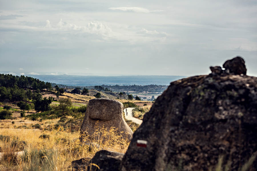
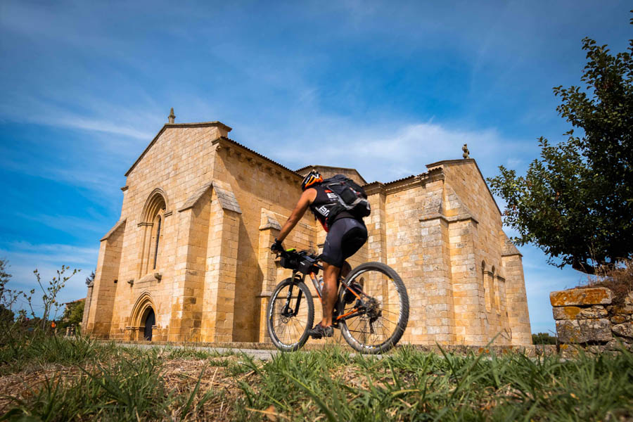
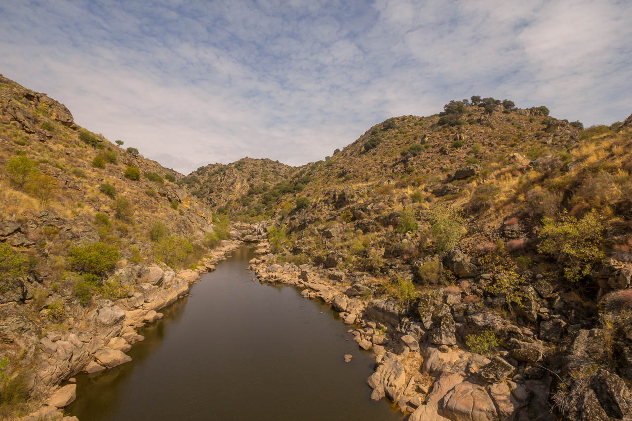
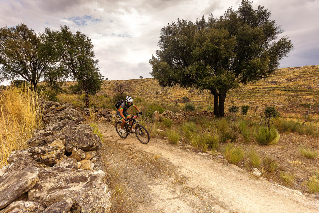
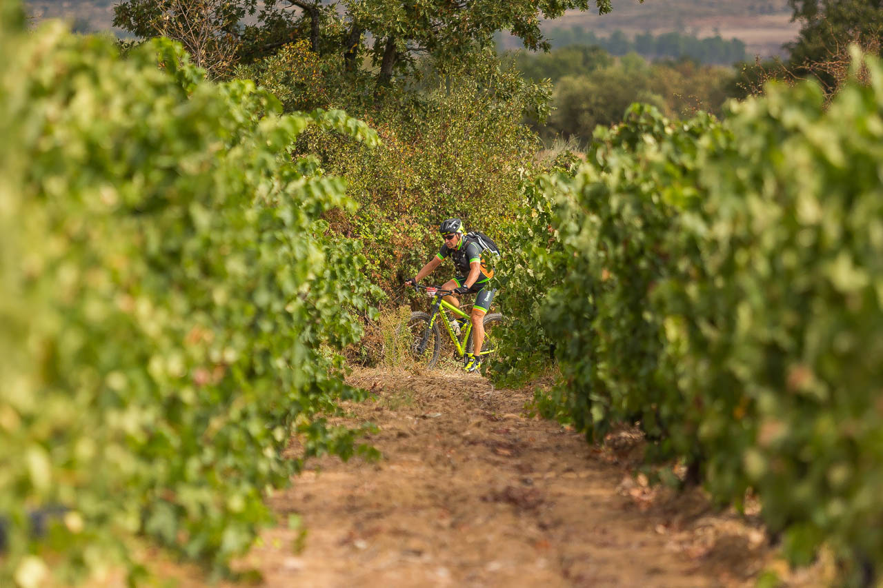
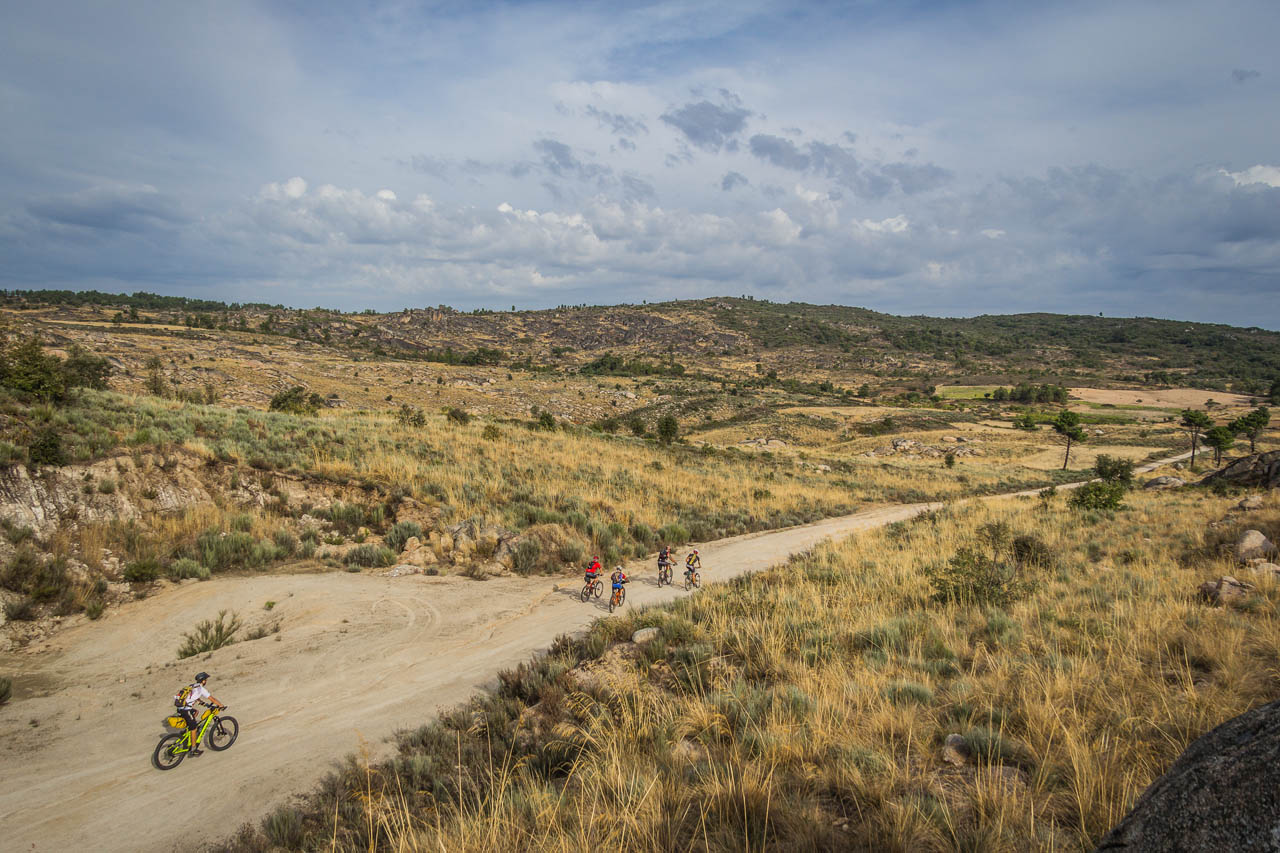
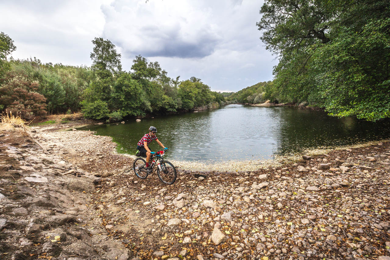
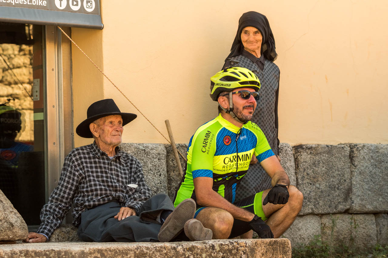
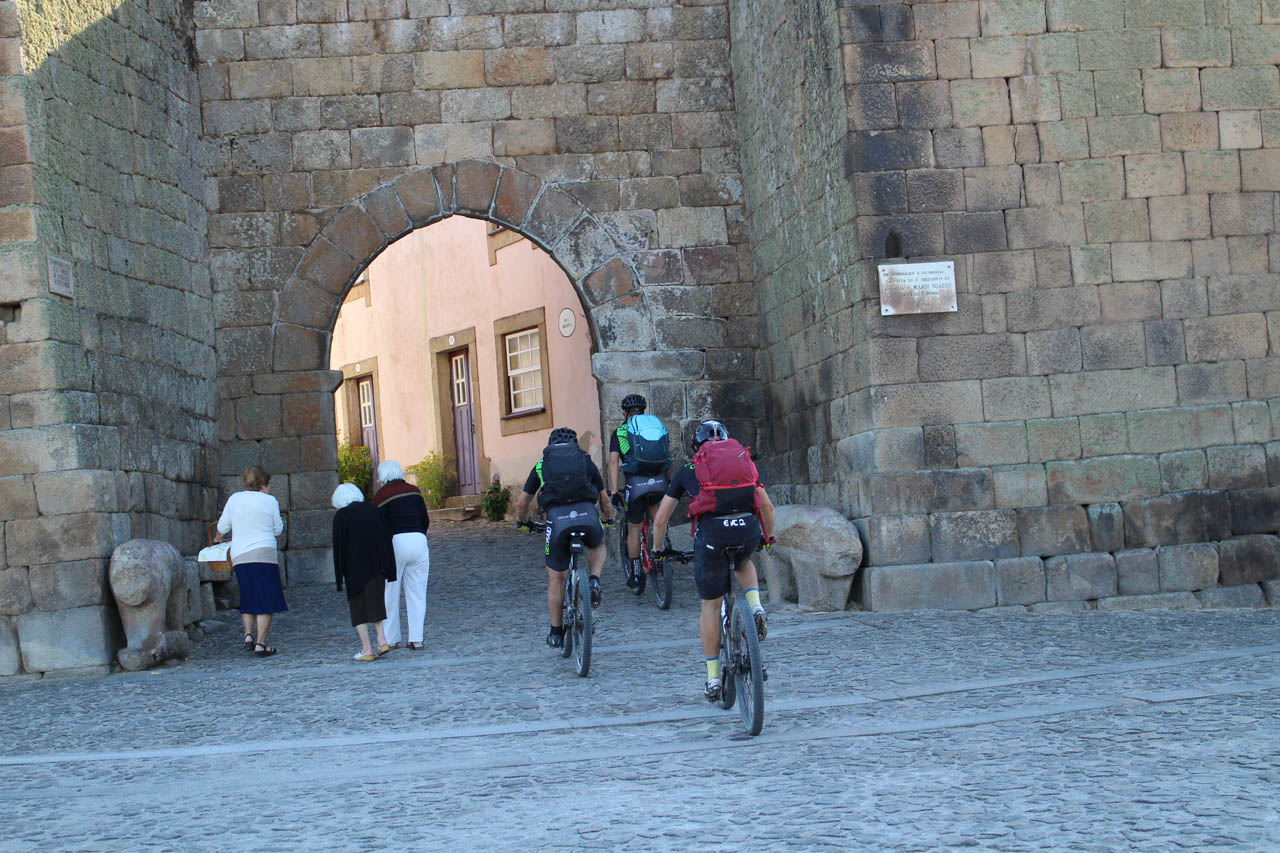
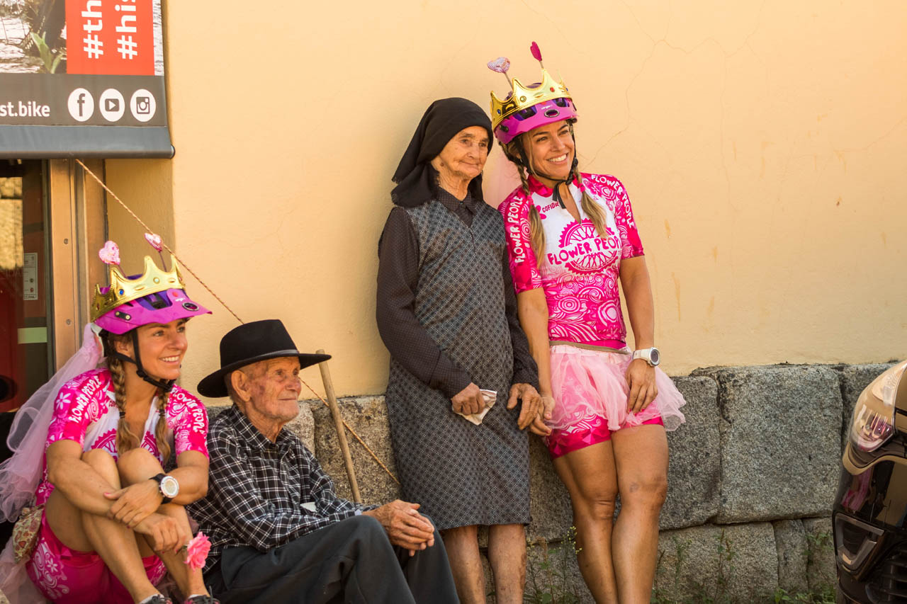
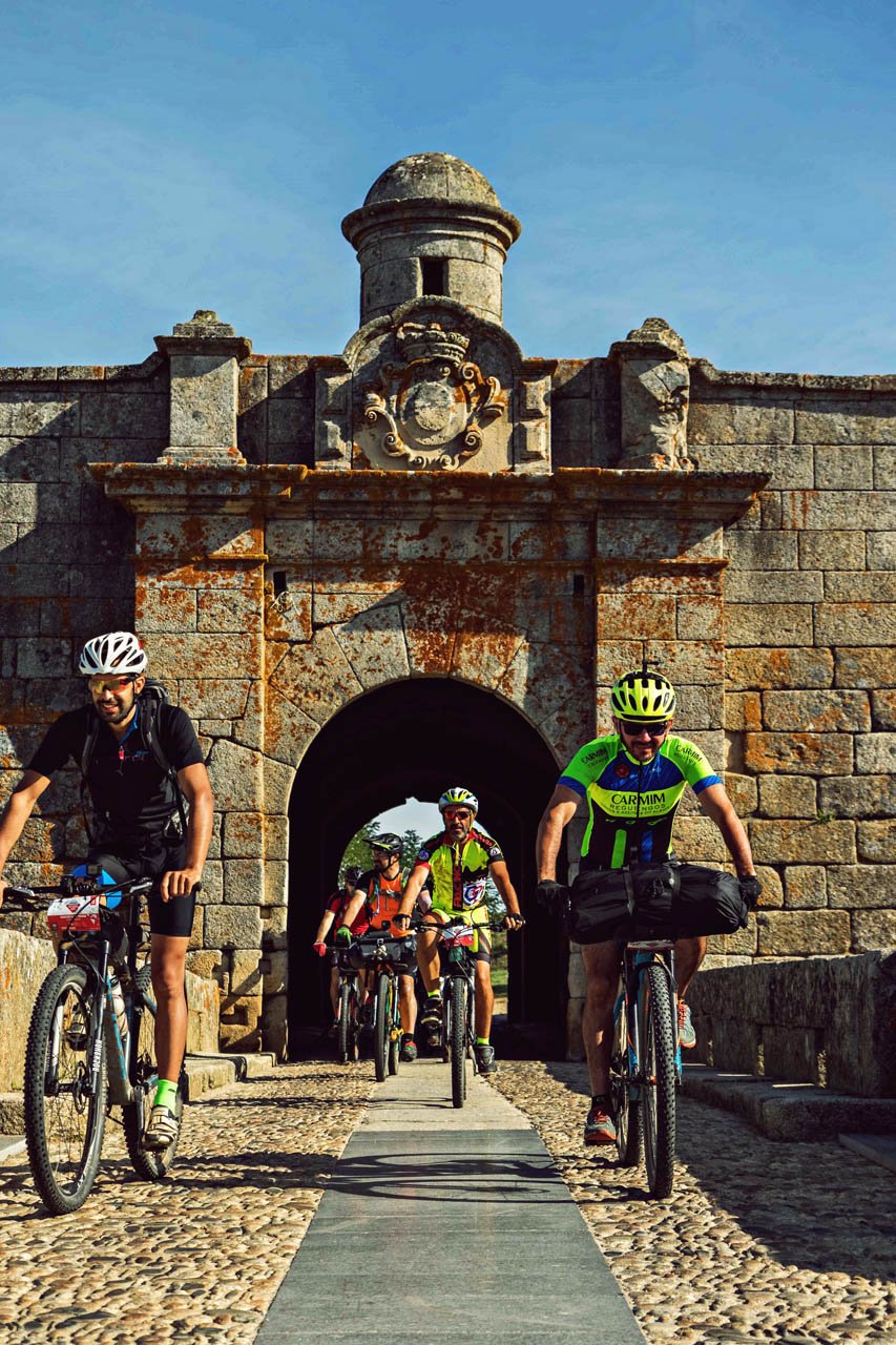
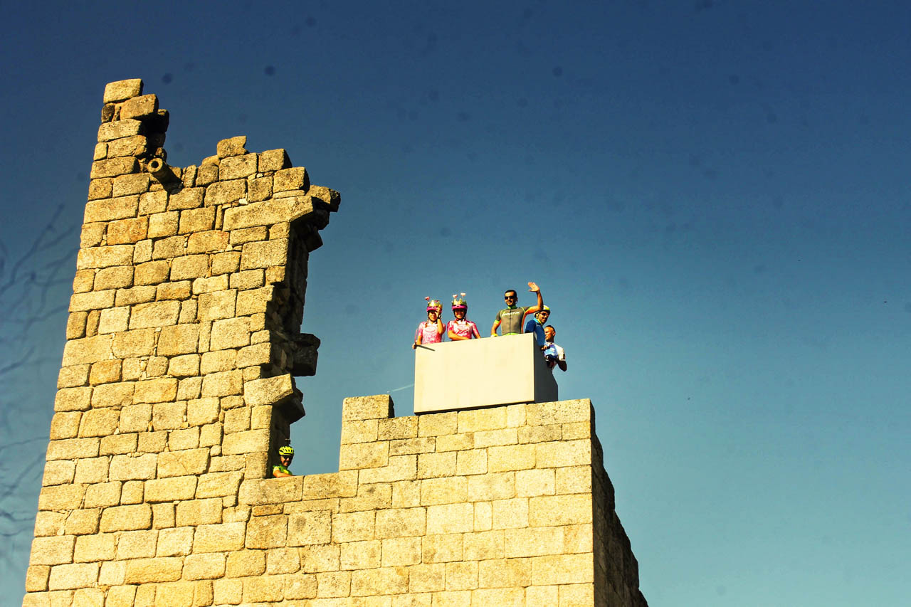
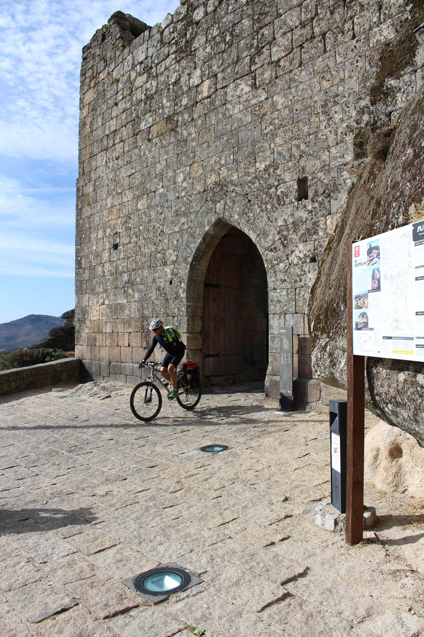
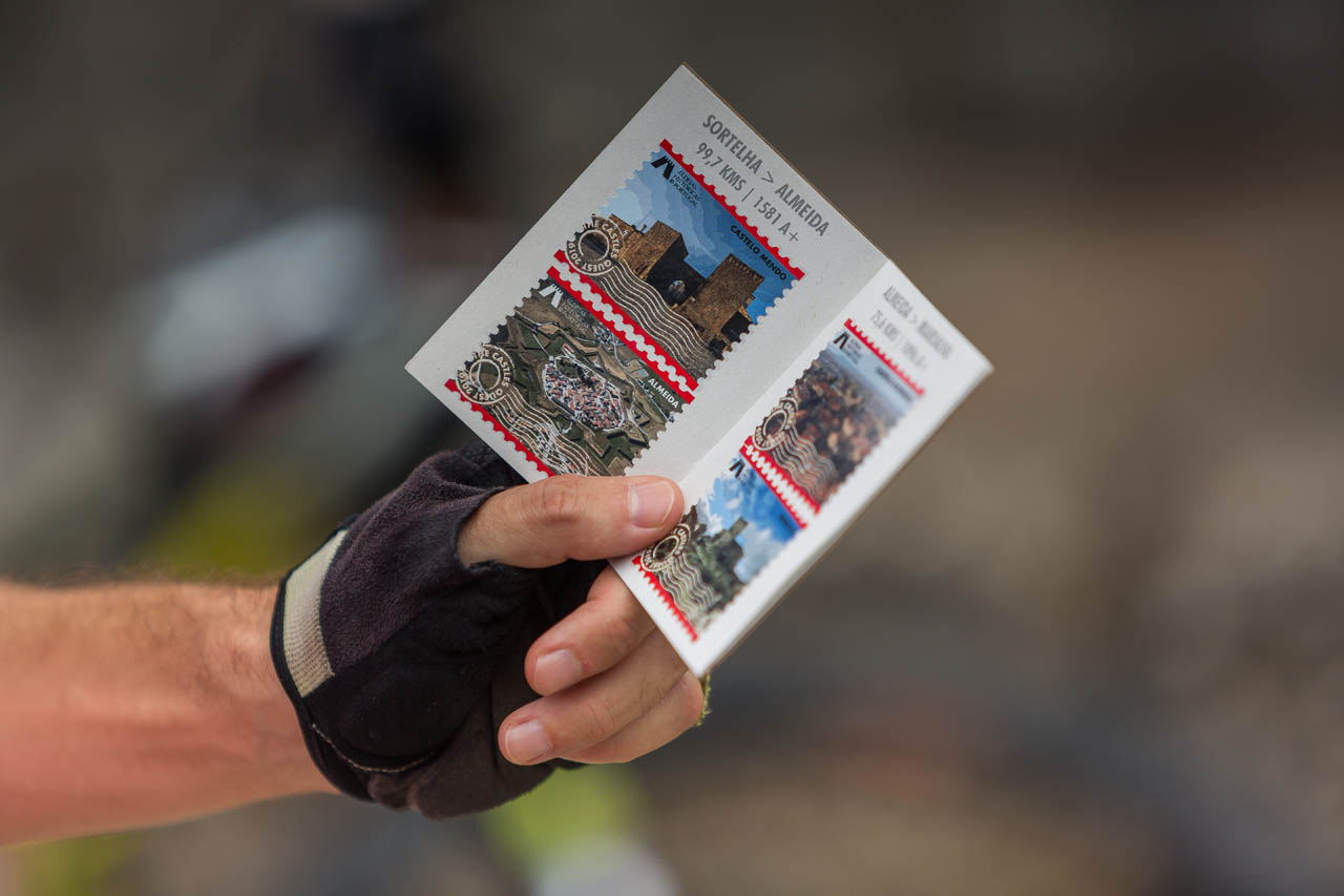
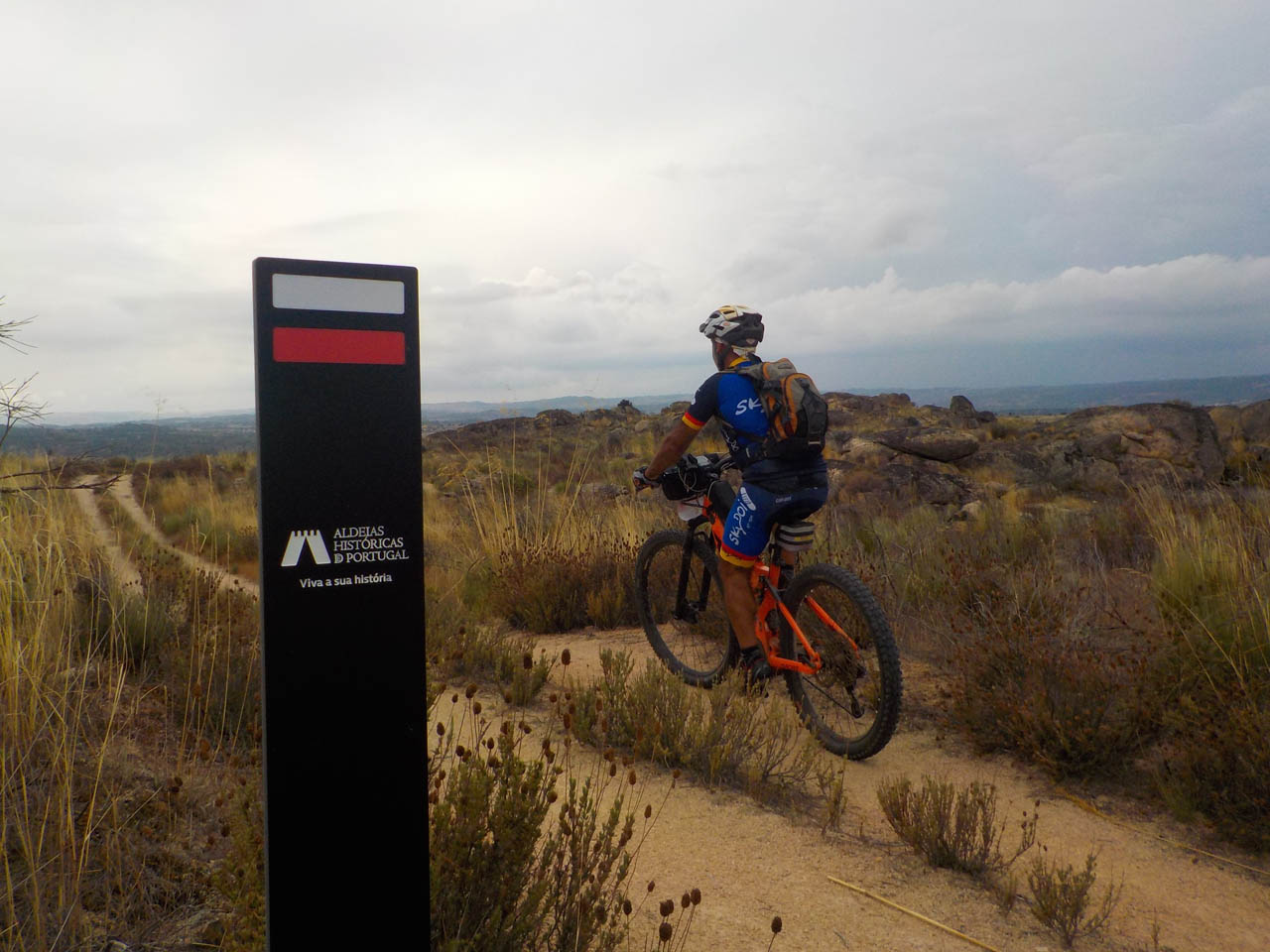
Gallery


GR22
institutional partners


FPC contacts
- Rua de Campolide, 237
1070-030 Lisboa - (+351) 213 802 140
- This email address is being protected from spambots. You need JavaScript enabled to view it.