Águeda
information
-
Municipality of Águeda
Praça do Município 3754-500, ÁGUEDA / PORTUGAL
Tel. +351 234610070 -
Available soon...
-
Available soon...
location map
Services
map of routes
routes
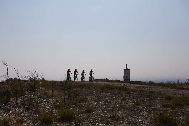
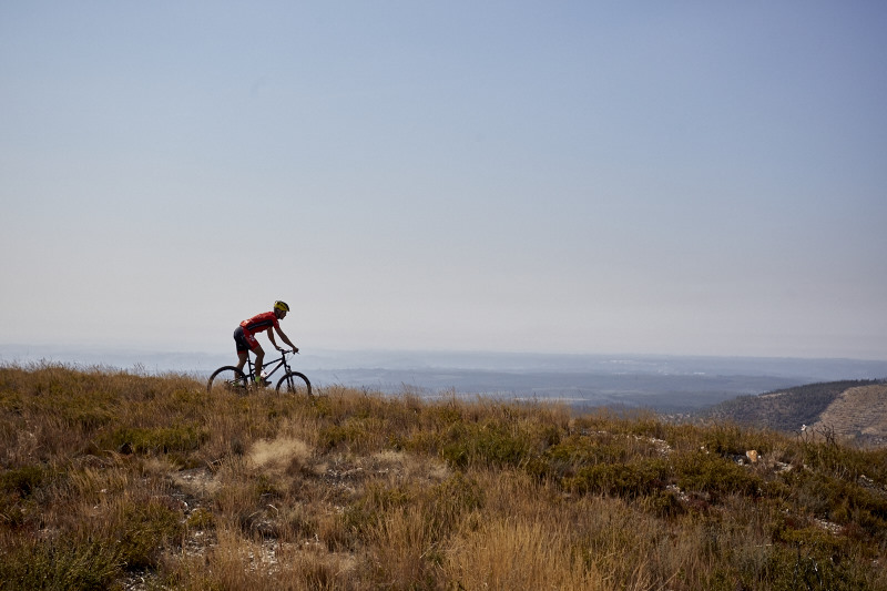
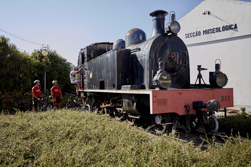
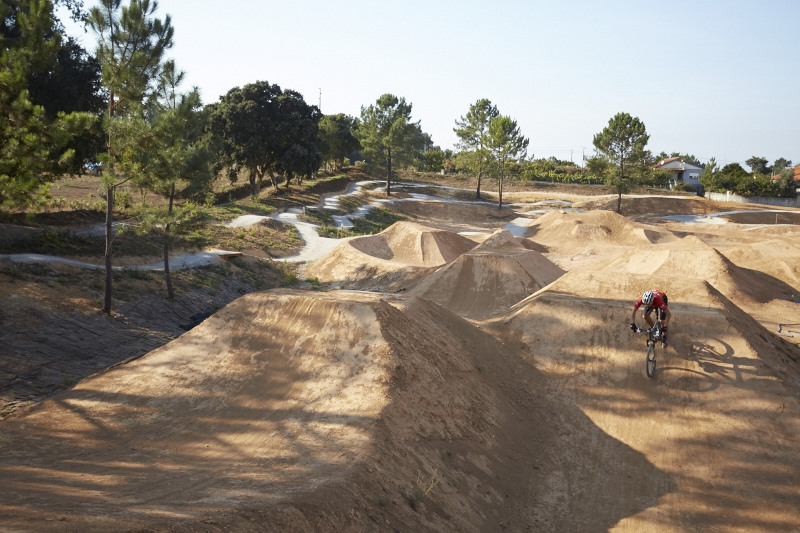
gallery


institutional partners


FPC contacts
- Rua de Campolide, 237
1070-030 Lisboa - (+351) 213 802 140
- This email address is being protected from spambots. You need JavaScript enabled to view it.