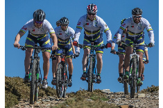
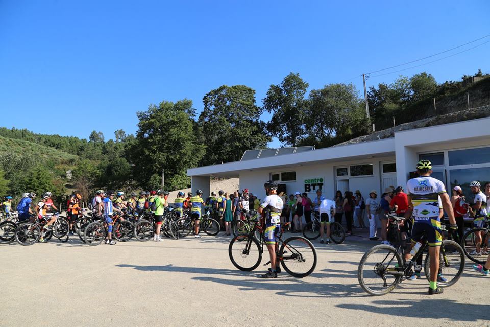
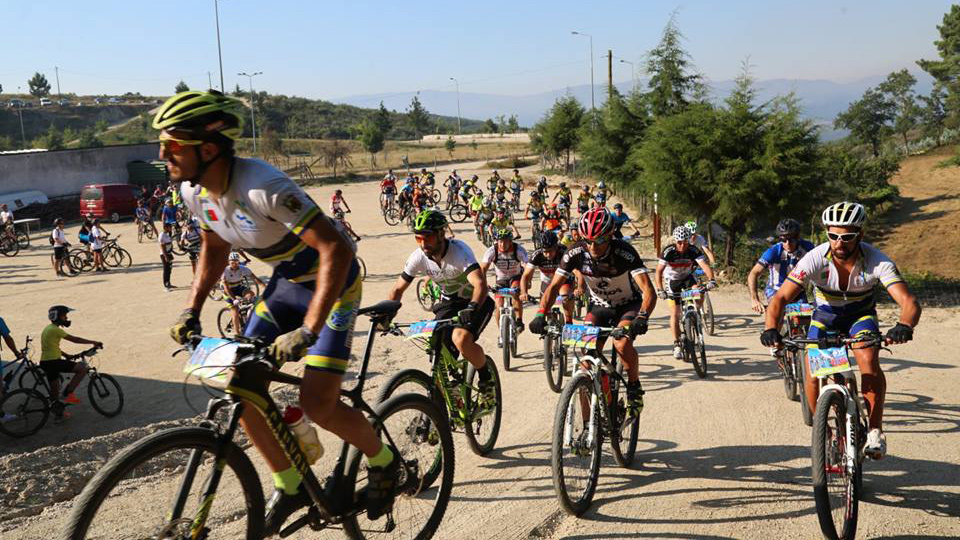
Baião

information
-
+351 255 540 500
This email address is being protected from spambots. You need JavaScript enabled to view it.
41°09'58.6"N 8°03'00.0"W
-
Available soon...
-
Available soon...
Location map
Services
Map of Routes
Routes
| p11 Green |
Linear path with beginning and end in MTB Center. It is the easiest route in the Center. Accessible to all practitioners of the sport. The course starts in Baião, passes in Almofrela and goes to Abobreira, here it returns by the same way to Baião.
Distance: 9,74 km
Time: 1h to 1h30
Climbing: 193 m
| p12 Blue |
Circular route with beginning and end at the MTB Center. This is a moderate circular route, excellent for those who are starting in the MTB mode. This route goes through Serra da Serrinha, heading towards Senhora da Guia, Chão de Parada, then down the Xadeiro valley passing through Penaventoso and arriving again at the Mountain Bike Center.
Distance: 17,74 km
Time: 1h30 to 2h00
Climbing: 499 m
| p13 Red |
Circular route with beginning and end at the MTB Center. Difficult ride in circular route. This trail passes in Almofrela, Abobreira, Chão e Parada, Loivos do Monte, Vilares, crosses the Ovil river and passes in Tapadas.
Distance: 34,4 km
Time: 2h30 to 3h00
Climbing: 958 m
| p14 Black |
Circular route, starts and ends at the Mountain Bike Center. A very difficult route, in circular format, is recommended a good technical pre-setting for its realization. This route passes in Almofrela, Abobreira, Chão e Parada, Loivos do Monte, goes up to Penedo Ruivo, Vilares, then descends until it crosses the Teixeira river, following by Águas Mortas and Vilares.
Distance: 63,6 km
Time: 4h00 to 5h00
Climbing: 2439 m
gallery
institutional partners


FPC contacts
- Rua de Campolide, 237
1070-030 Lisboa - (+351) 213 802 140
- This email address is being protected from spambots. You need JavaScript enabled to view it.